All care has been taken to make the walk descriptions and other information on this website as accurate as possible, but use of any of the information provided for viewing or download is entirely at the user’s risk. Your use of, or reliance upon, the material on this website is entirely at your own risk and it is agreed that by referencing this material you accept this condition.
WalkGPS accepts no responsibility for any loss, injury, damage, mishap or inconvenience sustained by anyone pursuing any of the activities described on this website. Personal safety is the responsibility of each walker. You must exercise your own independent judgment as to whether the walk routes suggested on this site are safe for you in the context of your fitness, training, skills and experience.
Geographical information provided for each walk on this website is for a suggested walk route only and it is up to every walker to evaluate for themselves the best and safest way to actually proceed. WalkGPS makes no representation or warranty that any material on the website, inclusive of GPS data and maps, will be accurate, reliable or complete.
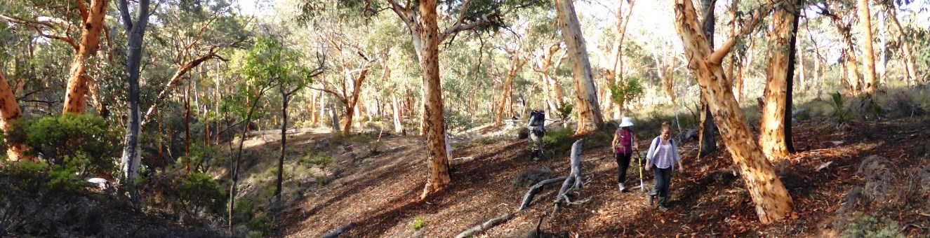
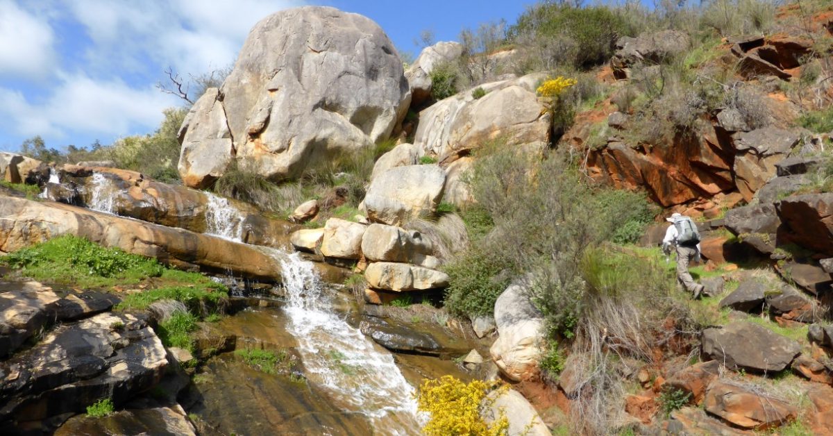
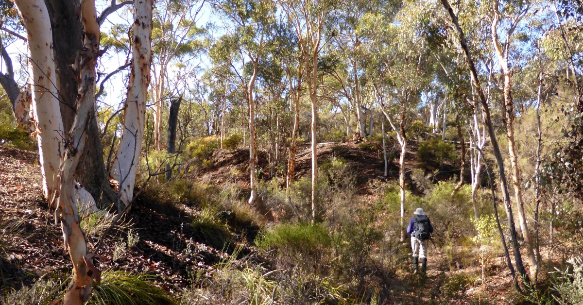
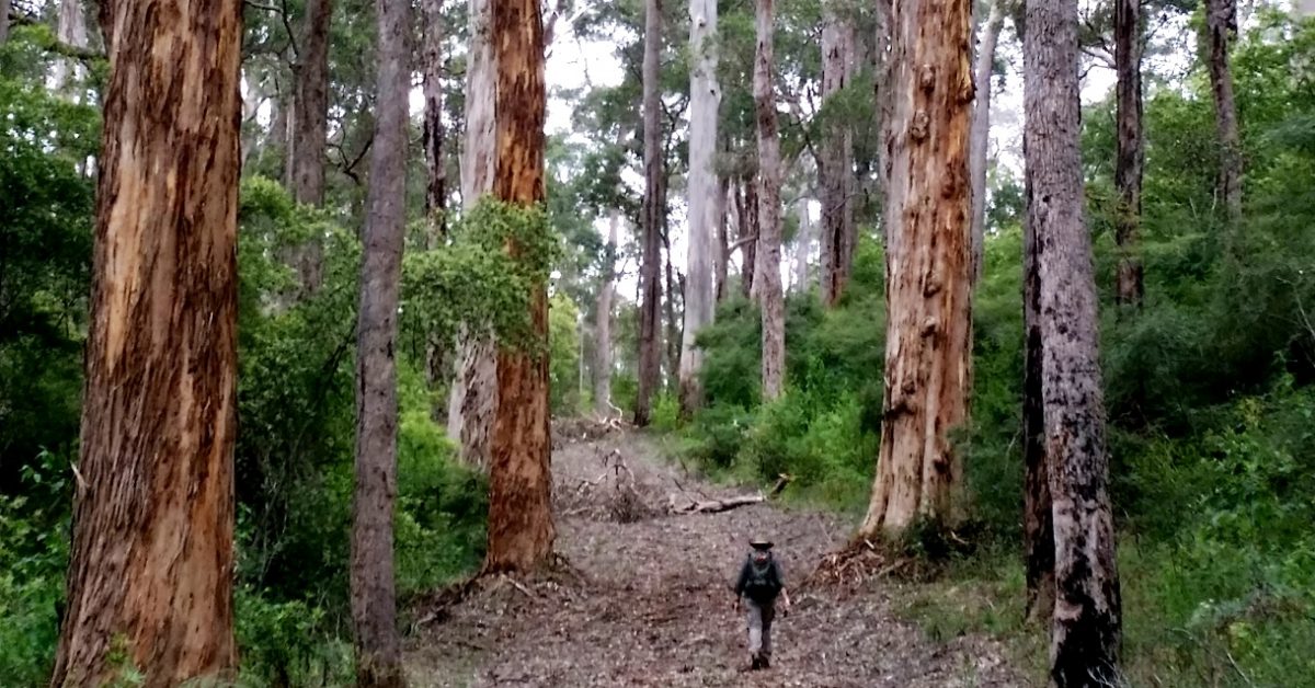
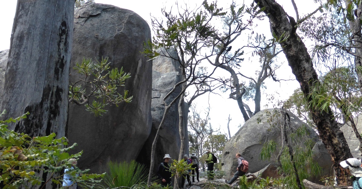
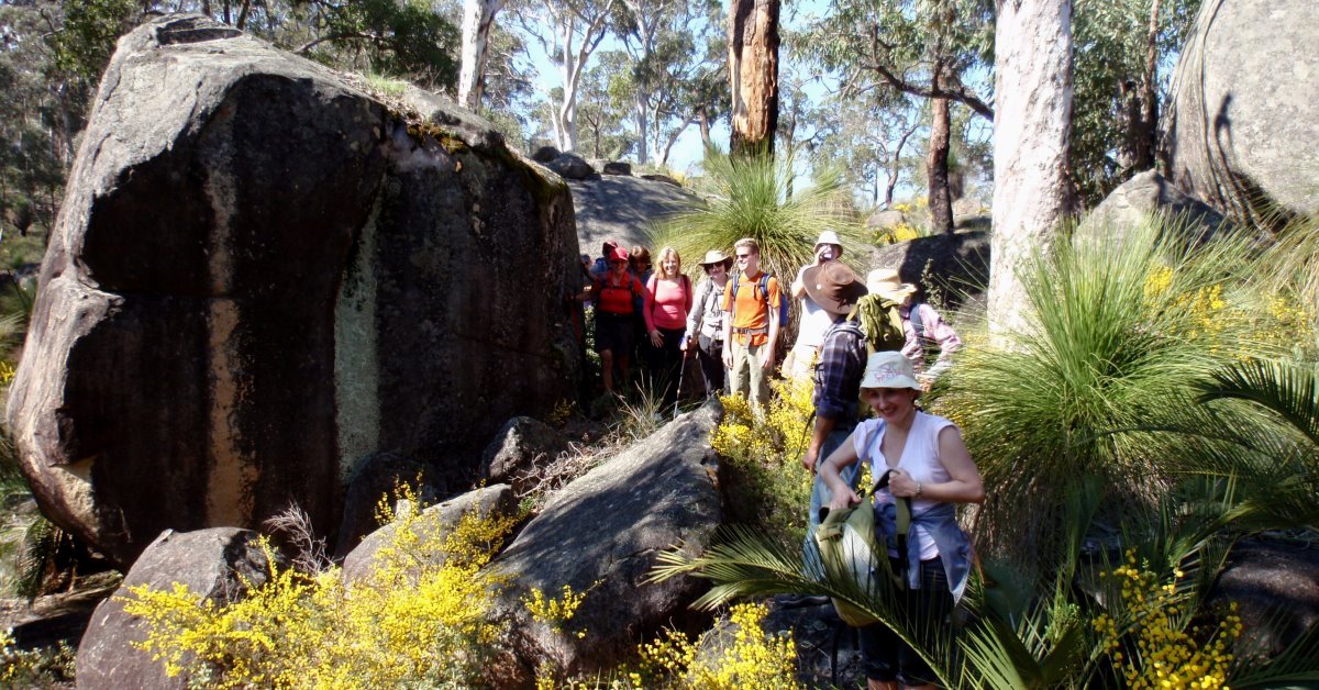
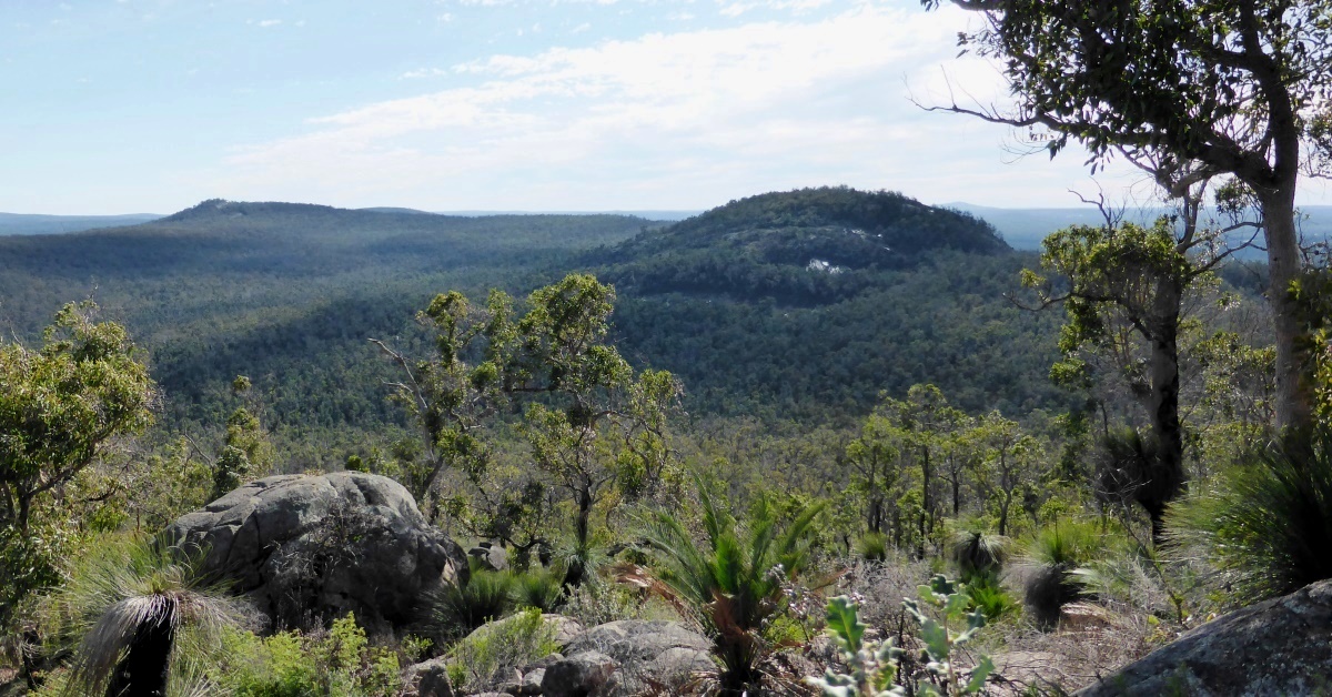
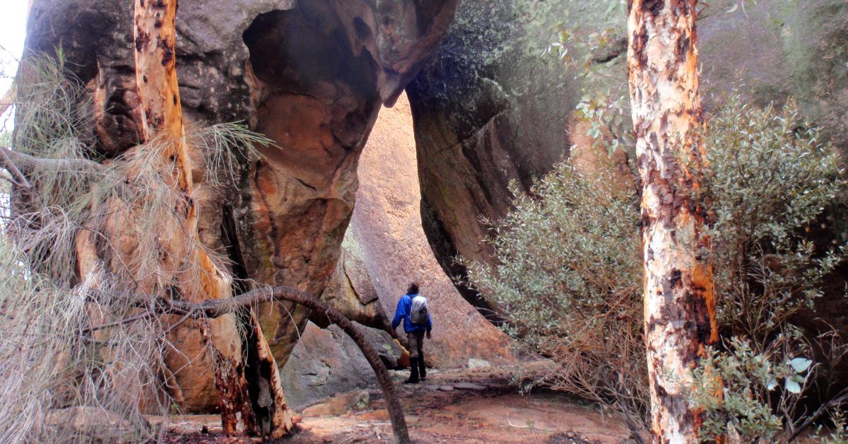
All outdoor activities involve some risk of injury or death, and bushwalking in Western Australia is no exception (e.g. bushfire, bush roads, snakebite, ticks, water availability and quality, weather, heat exhaustion/heat stroke, river crossings, ankle sprains, and even unexploded ordnance (in the case of Avon Valley walks). Users of this website are expected to have a clear understanding of these dangers. The Australian bush, bush trails and vehicle tracks are also ever-changing, so you must be prepared for surprise.
Copyright
The original information provided on this WalkGPS website is copyright. Apart from any use permitted under the Copyright Act 1968, the information is for your personal use only and no part may be reproduced by any process for any third parties, nor may any other exclusive right be exercised, without the permission of Dave Osborne at WalkGPS (
contact).