Prescribed burns
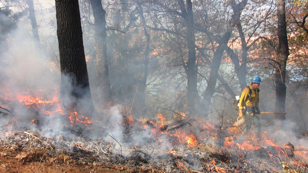 DBCA conducts prescribed (or controlled) burns in State Forest areas and National Parks to lower fuel loads and help reduce the severity and size of bushfires. In the southwest of the State, including the Perth region, the burns occur in spring and autumn. The decision to carry out a prescribed burn is made on the day and is dependent on suitable weather conditions, so there is minimal advance warning that a burn will commence.
To avoid being unwittingly caught in the midst of a DBCA burn WalkGPS recommends the following when planning to head off for a bushwalk in spring or autumn:
 1. At least a day or two before your intended walk: Visit DBCA’s Prescribed Burning online to check the maps for:
– Active burns which are already in progress in the walk area; and
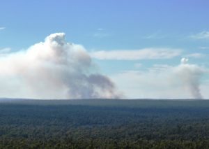
– Burn Options Program showing all possible burn areas for the current year or season. (Some areas on the map will still remain to be burned, while others may already have been burned recently, which could also leave an intended walk area temporarily very sooty and uninviting! )
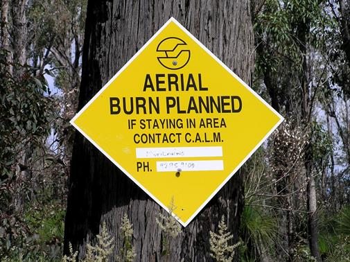 3. On the morning of your intended walk: Before heading off, check that no burns are “planned for lighting today” in your walk area.
4. If unsure on the status of a planned burn: Contact the relevant DBCA district office.
5. Also check EmergencyWA to monitor the status of active prescribed burns and wildfires, and/or also My FireWatch for satellite-detected hot spots (and also useful for recently burnt areas).