Hancock Brook – shorter option Walk overview

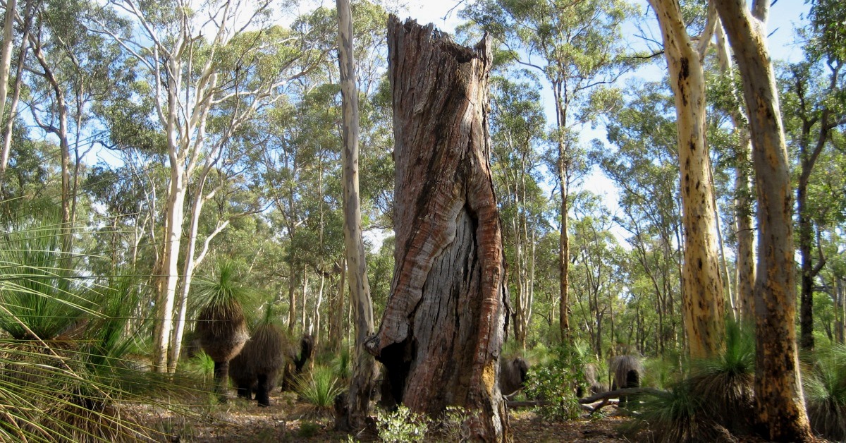
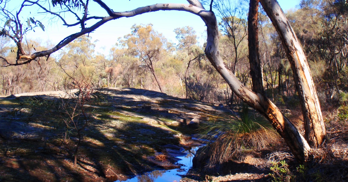
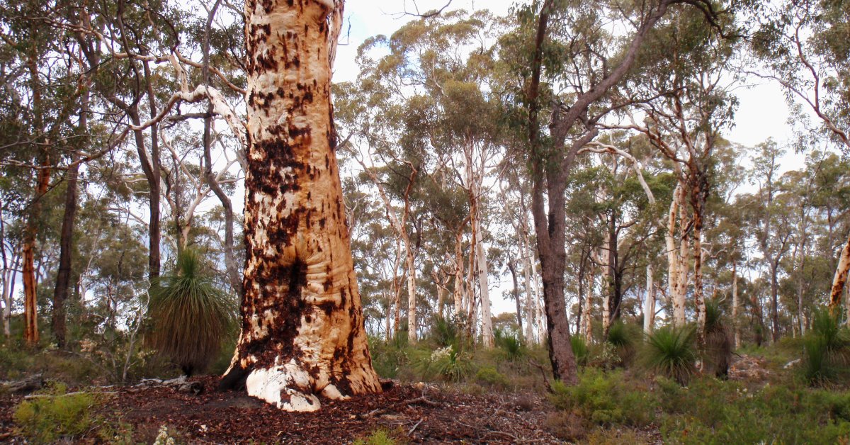
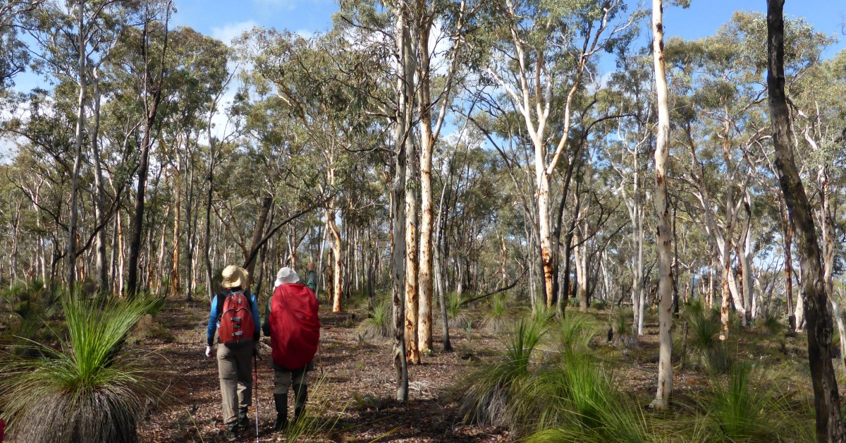
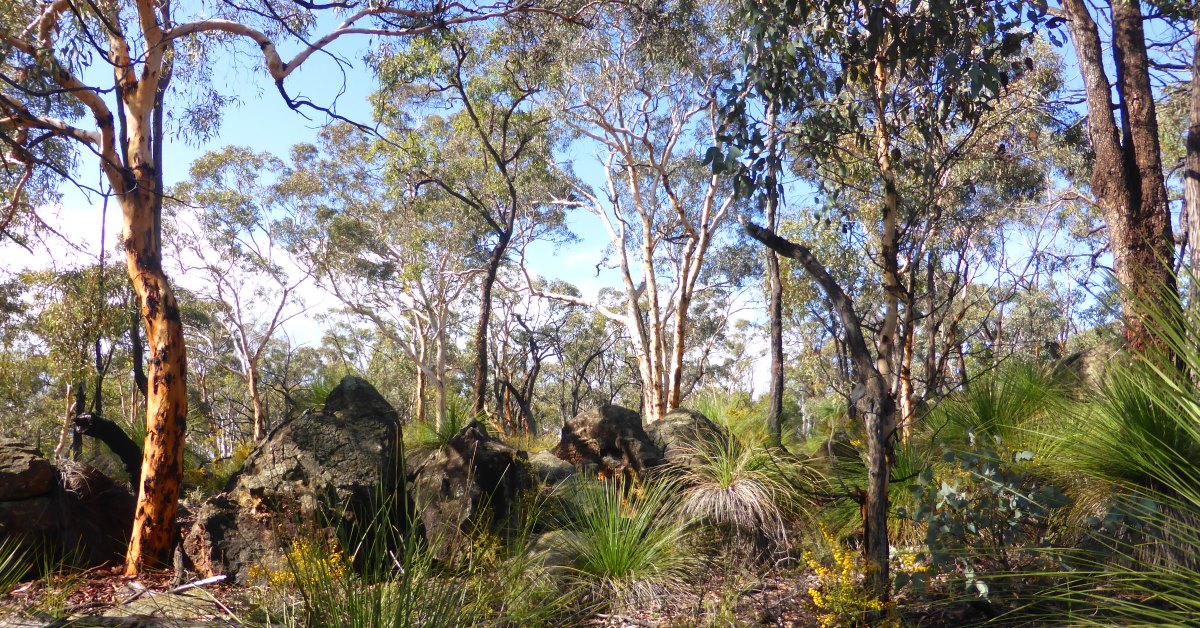
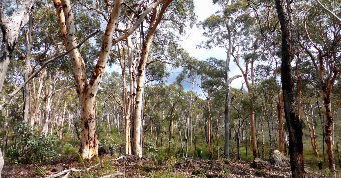
Hancock Brook is delightful to visit after good winter rainfall when the Brook is more likely to be flowing resulting in a number of small waterfalls and cascades along the mainly rocky stream course. But in autumn the extensive open wandoo woodlands are a highlight. This walk is the easier alternative to the longer Hancock Brook – Helena Brook option.

  • Main features / Highlights

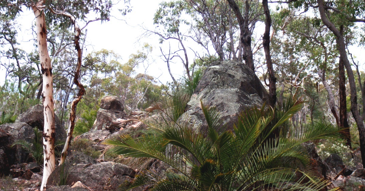
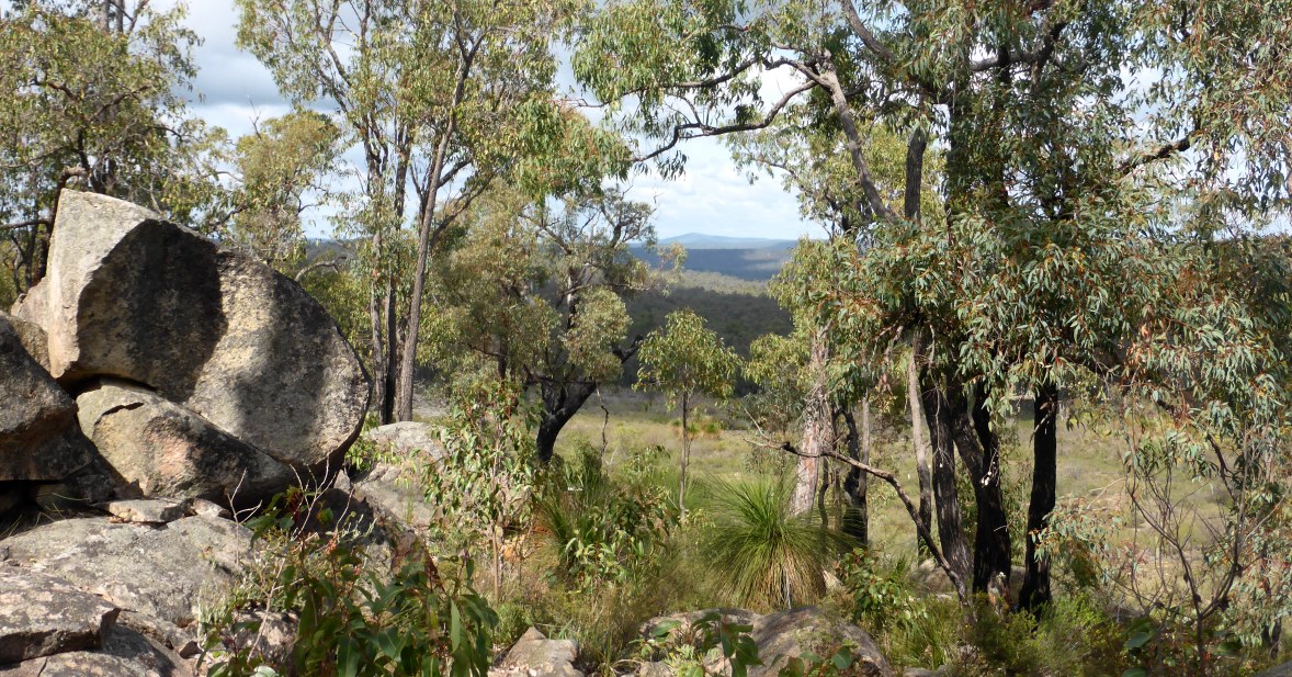
    The highlight of the two WalkGPS walk options in this area (this option and the Hancock Brook – Helena Brook longer option) is the very pleasant 3km stroll through extensive open wandoo woodlands along the banks of Hancock Brook located about 15km east of Mundaring. The wandoo woodlands always look stunning and at their best in autumn, but probably the best time to visit the area is late winter-early spring when the Brook is more likely to be flowing, resulting in a number of small waterfalls and cascades along the mainly rocky stream course. (The stream course drops in elevation by about 65m from north to south along the walk route.) As always, in early spring the wildflowers also add something special to every bushwalk. Both walk routes also traverse one or two large granite outcrops on the hillsides which provide some good views of the forest surroundings, including views to Mt Dale, 23-25km south.

    It’s worthwhile doing both separate walk options: The routes overlap along the Brook but are otherwise different in what they offer:

    This walk route (accessed via Flynn Rd) is the shorter of the two walk options (by 3km) and has a little less uphill walking, but about the same net distance of off-track walking. The particularly beautiful wandoo woodlands along a ridge in the NE are a special highlight in autumn. The last 2.5km section of the route (from near Cavern Rd crossing back to Wariin Brook) also overlaps with the first part of the Mt Gorrie Walk.

    The alternative WalkGPS Hancock Brook – Helena Brook walk (accessed from Gorrie Rd), although longer, includes 4.3km of easy walking along old forestry tracks. The route includes some additional pleasant walking through wandoo woodlands along the upper reaches of Helena Brook (which flows into Helena River about 6km to the south). It also visits an old logging sawpit which was likely associated with the former Forsyths Mill, which was located about 3.5km NW of the sawpit location.

  • Route notes

    From the start point (at waypoint ‘START’) cross the nearby Wariin Brook and follow the vehicle track 1.5km WSW in a fairly straight line (along old fenceline) through wandoo woodlands to reach a T-junction at ‘1’. Turn right and follow the vehicle track for less than 200m to a stream gully at ‘2’. Veer westward to head off-track along the southern side of the gully through open woodland for almost 1km, passing a small outcrop on the north bank before reaching ‘3’. Then head SSW, soon crossing a flat laterite-capped ridge top at ‘4’. Descend gently southward across rocky ground and low heath (via ‘5’ and ‘6’) to reach quite open ground at the head of a SW-sloping side valley. Head S-ward across the slope for about 250m to ‘7’, then veer SW to ‘8’ along a steep, pebbly escarpment below a distinctive, laterite-capped hill-top. Then veer sharp right (WSW) to head downslope for 400m through wandoo woodland to ‘9’ in a narrow gully. Descend WNW along the gully to ’10’, then cross the gully and head westward for about 100m to cross Hancock Brook and reach a bare area of outcrop on the west bank. You will now follow the Brook northward for ~3km. (Note: Unfortunately the southernmost 500m of this section along the Brook between ‘13’ and ‘16-3’ has been affected by an ugly new temporary track bulldozed along the stream course during a DBCA – Parks and Wildlife control burn in 2015/2016 in a seemingly cavalier and environmentally poorly-considered approach to burn management, and also –  being only ~2km upstream of the Hancock Brook confluence with the Helena River – evidently ignoring the implications of resulting highly turbid sediment flow into Lake CY O’Connor drinking water reservoir.) Simply head northward along Hancock Brook via ’12’ through to ’26’, passing a possible very small waterfall at ’16’ and small rapids at ’16-2′ (only flowing following good winter rainfall). Cross other rock slabs along the way and pass through a thicket of sheoak. Also cross Cavern Road at ’17-2′ (which is just over 1km of walking distance since you started along the Brook). Continue northward via ’18’ etc, staying close to the stream course. Following good rainfall there will be very small rapids or cascades at several points along the way (e.g. at ’19’, ‘21’, ‘22’). In places, the shrubland becomes denser near the stream course and it is then best to briefly detour up to 30m away from the stream for easier walking. Cross a small, low granite dome at ’23’ and then cross the Brook to continue northward along the west bank through very picturesque woodlands. Stay above the stream gully which becomes more deeply incised northward. Cross another vehicle track at ’24’ and soon after (at ‘25’) cross a deep side gully. Continue north to ’26’ by which point you have walked 3km along Hancock Brook. Descend the steep western bank and head NE upslope through mixed forest to ’27’. Then veer northward to cross a gentle gully and pass through a patch of shrubland to reach a granite slab at ‘27-1’. Head up the sloping slab via ’28’ (from where there will be good views, including to the pyramid-shaped Mt Dale). After reaching the top of the rock slope at ’29’, head directly upslope and in less than 50m arrive at a cluster of large boulders near the forest edge. This makes a pleasant spot for a rest stop. Then veer right to head WSW along slope through open jarrah forest to ’31-1′ on the flank of a broad ridge. Descend to a gentle saddle area at ‘32’ before crossing a small hill top at ‘32-1’. Descend again slightly to a small outcrop at the head of a narrow, NE-ward draining gully. Continue along slope ESE to enter wandoo woodlands again, and cross more rocky outcrops. Veer right at ‘34’ to head SSE-ward, upslope, to return to the crest of the ridge (via ’34-1′ and ’35’). Re-cross Cavern Road at ’36’ and veer SSE downslope to reach a rock outcrop at ’37’ from where there is a view SW across a small valley. Head along slope through partly scrubby bush and sheoak thickets (avoiding low, thick heath over the crestal area of the ridge). After ’37-1′ descend the plunging ridge crest via ’38’, crossing rocky outcrops. At ’39’ veer E-ward and soon descend again to cross the head of a small gully at ’40’. Cross a small hill top via ‘40-1’ then (after ‘41’) descend another steepish slope to cross a small stream course at ’42’. Finally cross a broad ridge to rejoin the vehicle track at ‘43’ and follow it eastward for about 100m, back across Wariin Brook, to regain the Start point.

  • Access / Directions

    Approx. 50km east of Perth along Great Eastern  Highway to Flynn Road turnoff (on right approx. 2km before The Lakes) then further 6km along Flynn Road (part sealed, part good condition dirt road). About 50m  before Flynn Road ends at Albercorn Road (on left), turn right down a dirt track for about 150m and park at the start point before the track crosses a stream gully (Wariin Brook).

    Google Map

  • Nearest campsite/s

    N/A.

  • Escape route/s

    e.g. In south or east, follow Cavern Road NE to Flynn Road or SW to Gorrie Road (then 6.5km NNW on Gorrie Road to Great Eastern Hwy). In north and west, various vehicle tracks lead to Great Eastern Hwy or Gorrie Rd.

  • Other Info.

    Some local history:

    Forsyth’s Mill – The Mill operated from 1896 to 1903 at the corner of Gorrie Rd and Great Eastern Hwy. There is a useful DBCA – Parks and Wildlife information panel at the location which provides some information on the history of the area. The location is also the trail head for the popular Forsyth’s Mill Mountain Bike Trail adopted by the Perth Mountain Bike Club and managed by DBCA – Parks and Wildlife.

    “Malmalling” Homestead – The Gorrie family ran the former “Malmalling” property to the south of the walk area from 1907 until 1953. The homestead was located at waypoint ‘HMSTD’ (about 2km south of  where the walk route meets Hancock Brook at waypoint ’11’). Beef cattle were run on the land after 1953 but the Government later resumed the property. The old homestead was abandoned in 1968 and the surrounding farmland was soon after converted into the current pine plantation. The homestead was later destroyed by vandals and sadly even the stone wall ruins were then bulldozed into an ugly heap by Water Corp in about 2006 due to safety and public liability concerns. Two large oak trees planted behind the cottage in the early 1900’s remain as more sensitive reminders of the history of the site. The Mundaring & Hills Historical Society Spring 2005 Newsletter (not available online) included a good summary of the history of the Malmalling site.

    Other map availability

    South West WA 25K Scale Topo Maps”, Greg Harewood & Landgate, 2015.  – Digital raster; ECW format on 16GB USB. See tile #324-2134-II-SW for relevant map coverage.

Back to top