(NOTE: This route includes a revision of Oct. 2024 between waypoints ‘4’ and ’11’.)
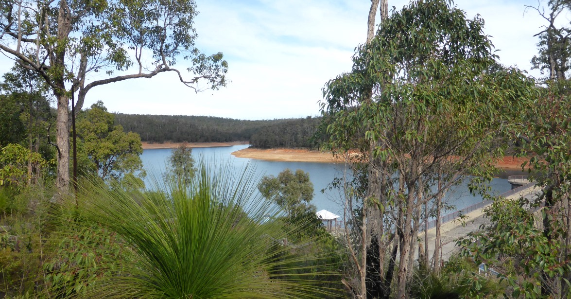
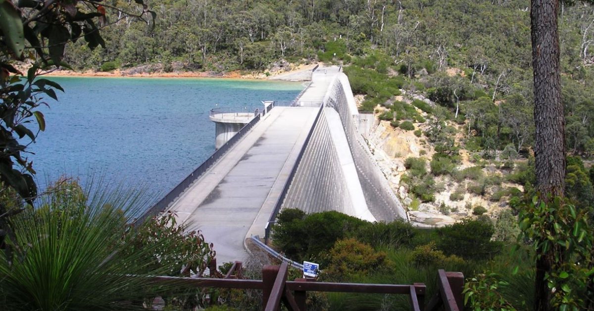
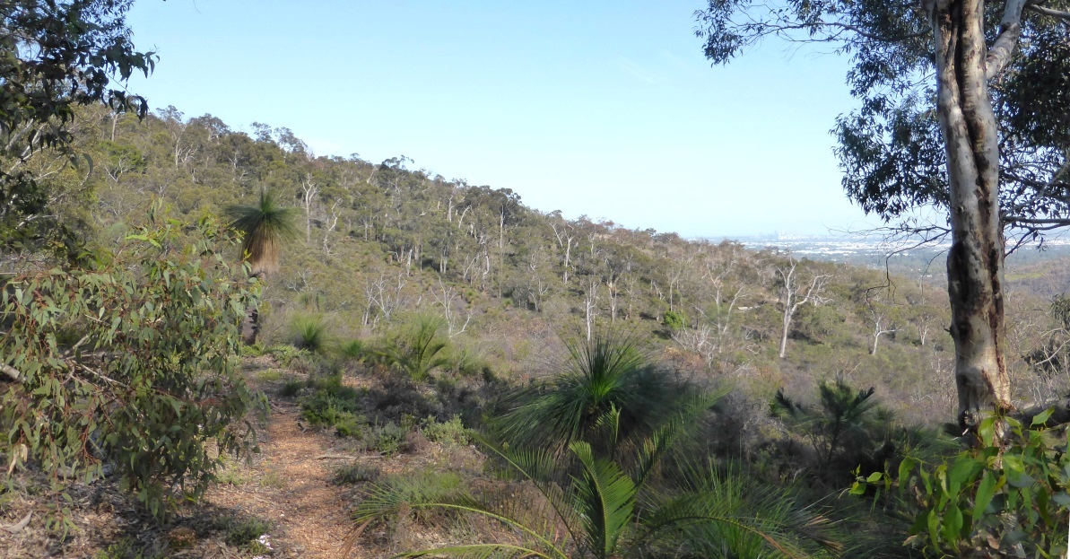
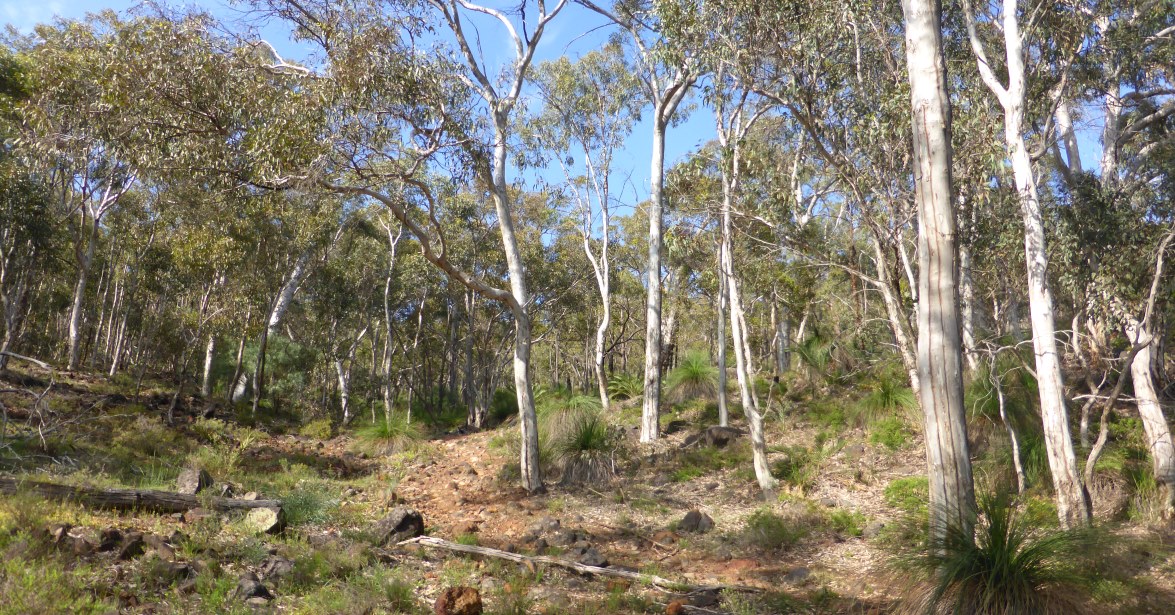
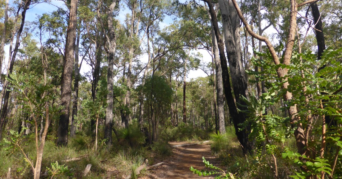
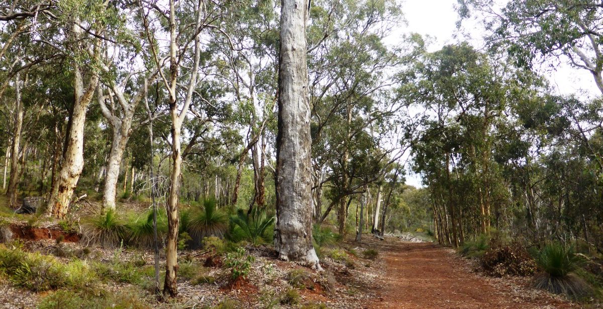
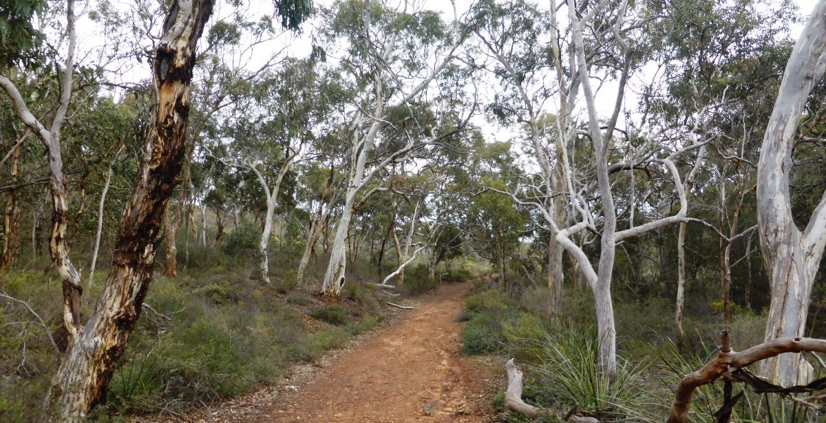
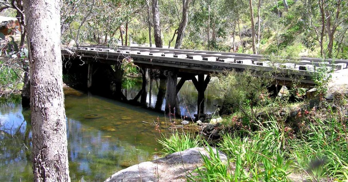
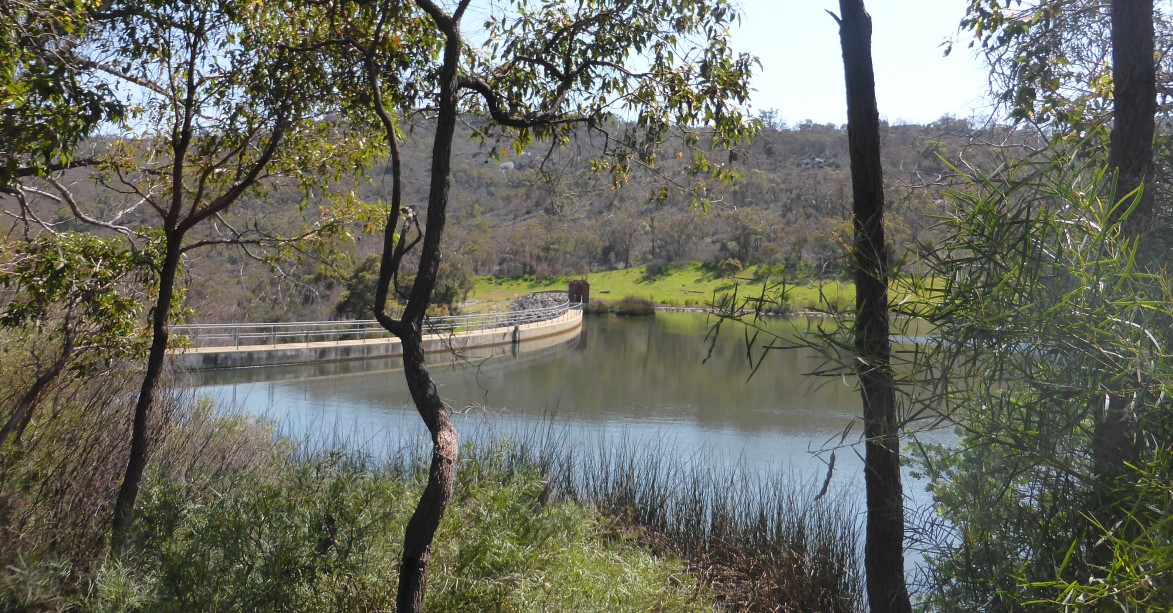
Start from the carpark in Hardinge Park (at waypoint ‘START’). Exit the carpark and cross Hardinge Road to briefly follow a vehicle track upslope. After just 20m (at ‘1’), turn left onto a side track which heads initially ESE-ward along slope. Reach a Y-junction at ‘1-1’. Take the right-hand track to head southward up the hillside. When the track soon begins to curve to the right, locate the entry to a narrow foot-track on the left at ‘2’. Follow the foot-track ESE-ward along the hillside, passing mainly through heathland and across some rocky terrain via ‘3’, obtaining a good view across the valley and glimpses of Bickley Reservoir below. After about 5 minutes, the track crosses a small stream course and then divides at ‘4’ just before another larger gully. Follow the clear, but narrow track to the right, heading initially SE-ward, initially with the stream course on your left. Soon veer southward at ‘5’ to follow the gully upslope, flanked mainly by heathland. (Or see Option 1 below if you would prefer to follow a wider track up the nearby ridge.) The gully narrows and steepens before the track enters a patch of picturesque wandoo and butter gum woodland. When the track turns right at ‘6’ toward the western flank of the gully, instead turn left to leave the track and head eastward off-track, upslope through open forest. Within 80m, at ‘7-10’, meet an old, disused vehicle track on the eastern flank and gain a good view westward down the valley and across the coastal plain to the city. Veer left to follow this track ENE-ward along the hillside and back into heathland. Soon meet a wider vehicle track at ‘11’. Turn right to follow this track initially quite steeply southward up the hillside, initially gaining good views across and along Bickley Valley. The slope soon eases and the track then climbs gently SE-ward into jarrah forest on a broad ridge. Reach a Y-junction at ‘12’ and veer left to join another vehicle track. The track leads ESE-ward through the forest along the ridge. In less than 15 minutes, at ‘13’, meet a north-south vehicle track. Cross this track to locate the entry to a narrow foot-track. Follow it via ‘14’. It soon descends eastward with a couple of switchbacks down the steepening hillside through some wandoo woodland. After crossing a stream gully at ‘15’, continue eastward up the next hillside to ‘16’. The foot-track then veers NE and begins descending toward Munday Brook valley. Meet a vehicle track at ‘16-1’ and follow it down to ‘17’ where it joins the lower Victoria Dam access road (also the Victoria Reservoir Trail). Turn right to follow the Trail (via ’18’) SE along the west side of Munday Brook valley to reach the Old Victoria Dam wall (at ’19’). The interesting history of the Dam is given on the information panels on the Dam wall (see ‘Other info’). The nearby grassed picnic area (with toilets) between the old and new dam walls is a nice spot for a rest stop or lunch. After a break follow the bitumen path and road (via ’20’) to reach the top of the new Victoria Dam wall (at ’21’). Climb the nearby wooden steps to the lookout platform above the eastern end of the dam (at ’22’) to get good views across the Dam and Reservoir. Then follow the Victoria Reservoir Trail northward from the platform for about 500m (with views across the old Victoria Dam) until you meet a sidetrack (an old forestry track) on the right (at ’23’; If you reach the sealed Dam access road you have gone too far!) Follow the sidetrack approx. ENE for about 400m (if necessary skirting around a gravel pit before meeting a wide, still-used forestry road at ‘24’. Follow the road to the right for only about 50m to ‘25’, then veer left to ‘26’ to leave the road and skirt (via ‘27’) around the western and northern edge of a previously cleared and/or partly quarried area which is now largely covered in new growth shrubland , mostly One-sided Bottlebrush (Calothamnus sp.). Find the initially vague track on the northern side and follow it (via ’28’) northward on a good track for about 300m through open jarrah forest with a light understorey of Bull Banksias (Banksia grandis). At ‘29’ veer left to leave the track and head off-track ~NNW to soon reach a sealed dam access road at ‘30’. (Or see Option 2 below if you would prefer to bypass this short off-track diversion.) Turn right (NE) along this sealed road to find in about 50m on the right hand nature strip, at ‘31’, an old 1876 fenced grave of a young (2-day old) child, Francis Weston, whose parents lived at Mason’s Mill (on Mason’s Mill Road) where the father worked as a wheelwright. (See “Weston Grave, Carmel” under ‘Other info.’). Leaving the gravesite, don’t return to the road but head off-track eastward for 50m back into the jarrah forest to ‘32’. Here you will find an historic sawpit site dug during the Mason Mill operations over 130 years ago. Then continue another 50m to ‘33’ to another sawpit and a nearby foot-track which is the old Kattamordo Heritage Trail (also see ‘Other info.’). Information boards at this second sawpit site give some of the history (also see “Masons Mill” and “Sawpit” under Other info. below). Veer left onto the foot-track to head northward to soon cross the dam access road and reach a carpark area at ‘34’. Locate the entry to the Masons Heritage Trail at ‘35’, near the northern corner of the parking area. This foot-track heads roughly NW and after 300m meets the path of the old tramway (at ’36’). Follow this wide path westward along the south side of Bickley Brook (via waypoints ‘37’-‘39’) for about 2.5km to ‘40’. Along the way (at ‘37’ and ‘38’) you will pass some old clay pits to the left. Cross the restored tramway bridge across the Munday Brook at ’39’. (The bridge was built using convict and ‘ticket-of-leave’ labour in 1871-72 and is believed to be the oldest surviving all-timber bridge in Australia.) West of the bridge the road is gravelled. At ‘40’, turn left where there is a rock marker in nearby bushes, to follow the old tramway route as it contours around a side gully. At ‘41’ you pass a partly concealed fire access track on the right which descends NE to cross Bickley Brook. If you are feeling energetic you can follow that track to link into the Lions Lookout-Bickley Brook Walk and do the extended walk option. At ‘42’ veer left onto a foot-track before Hardinge Road. Follow the foot-track to ‘43’, then veer right to cross Hardinge Road to ‘44’ from where a pathway around the south side of Bickley Reservoir will lead you back to the Start point at the carpark.
Option 1, to bypass narrow gully track (after waypoint ’4’) and follow a wider track up the nearby ridge: When the track divides at ‘4’, follow the track to the left around the hillside via ‘5-ALT’. Turn right at ‘6-ALT’ to follow a vehicle track uphill to ‘7-ALT’, then veer left onto another foot-track which rejoins the vehicle track at ‘8-ALT’ in less than 200m. After a further 100m at ‘9-10-ALT’ yet another short foot-track on the left bypasses the vehicle track for about 100m, rejoining it at ‘11’. Continue along the described route from there.
Option 2, to bypass short off-track diversion to historic gravesite (after waypoint ’29’): If you prefer to bypass the very short off-track diversion, simply continue along the track to a track junction at ‘KATT’, where the track meets the old Kattamordo Heritage Trail. Then turn left to follow the Trail initially NW to resume following the described route from near ’33’. On reaching the dam access road (before ’34’) you then still have the option to visit the gravesite by turning left to follow the road 200m SW to locate the gravesite to the left of the road. Then retrace your steps back along the road to resume the described route via ’34’.