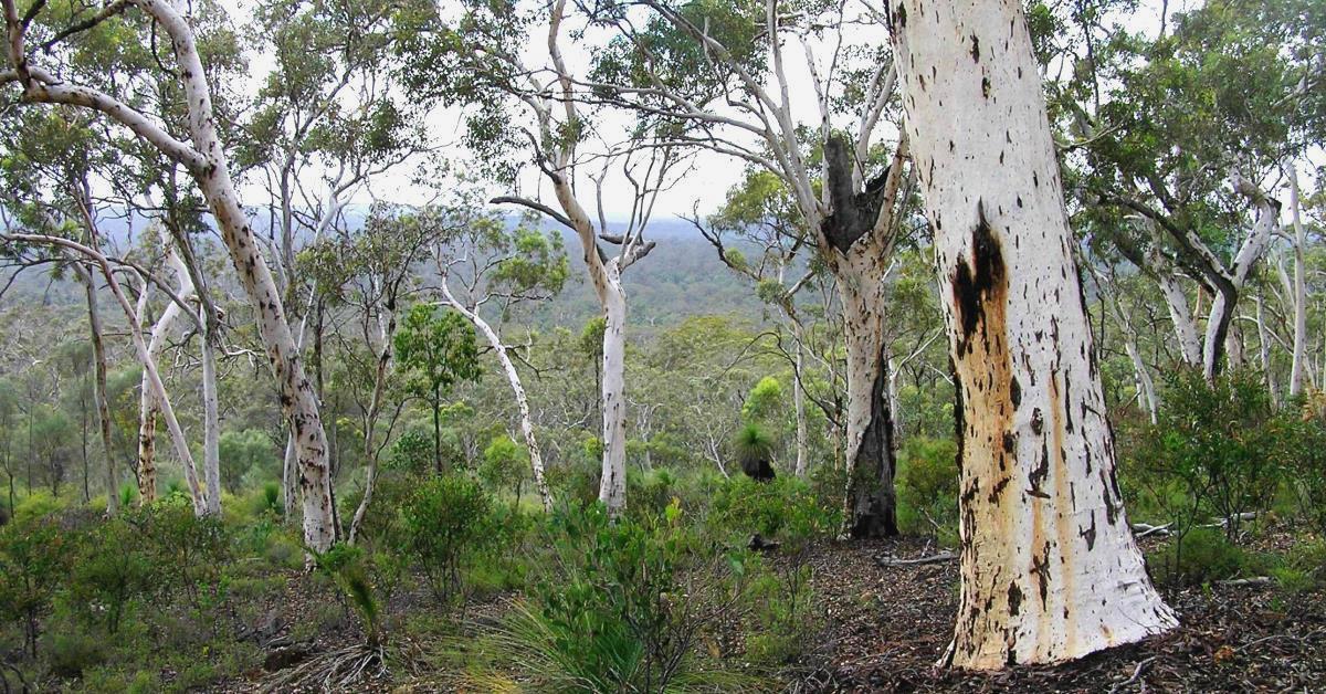
Flynn Hills Walk overview

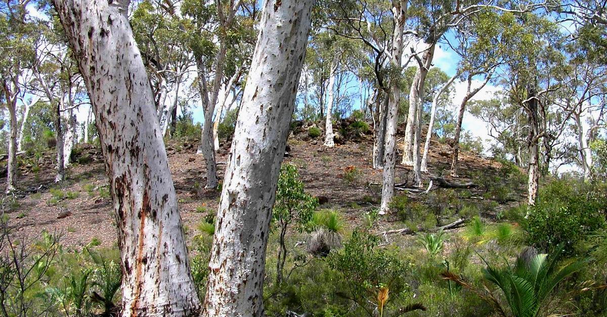
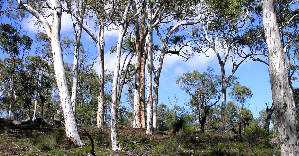
Like the nearby Upper Darkin – SE Walk, this area offers some easy walking, mainly through picturesque, open wandoo woodlands and some mixed jarrah-marri-wandoo forest. The terrain along the mostly off-track walk route is varied, but mainly gentle, with only modest climbs. The eastern two-thirds of the walk lies within Wandoo National Park; the western portion lies within State Forest (Flynn Block).

  • Main features / Highlights

    This walk area is located immediately north of the upper Darkin River and 20km NE of Mount Dale. The eastern two-thirds of the walk lies within Wandoo National Park; the western portion lies within State Forest (Flynn Block). Like the nearby Upper Darkin – SE Walk, which is immediately to the SW, this area offers some easy walking, mainly through picturesque, open wandoo woodlands and some mixed jarrah-marri-wandoo forest.

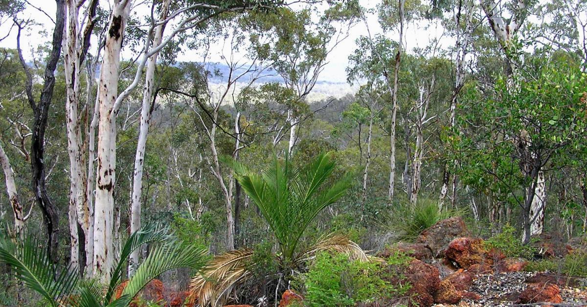
    The terrain along the walk route is varied, but mainly gentle, with modest climbs to ridges on two small hills (informally named the “Flynn Hills” on WalkGPS). These provide some pleasant views across the surrounding forest.

    The Forest Products Commission still harvests wandoo timber from the State Forest area in the western Flynn Block (Compartment #08) including as recently as 2004. This has had little visual impact along the walk route though you may still see foresters’ white paint markings on tree trunks. (Trees with any form of marking are not for harvesting).

  • Route notes

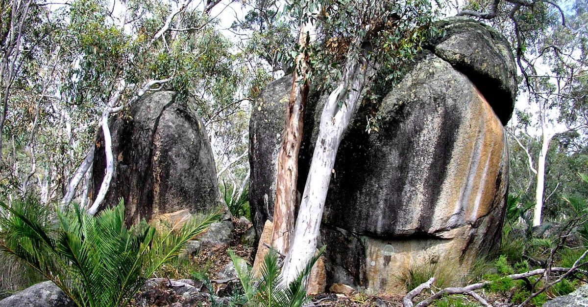
    Head westward from the start point (at waypoint ‘START’), initially through mixed forest, then open shrublands and heathland of the valley floor (with spring displays of yellow Verticordia and Common Popflower), until you meet the Wandoo National Park boundary road (at ‘1′) after about 750m. Follow this rough vehicle track for about 200m as it bends westward toward a stream course.  Leave the track at ‘2’ to cross the stream course and soon climb gently uphill into mixed forest. When you reach an area of large scattered granite boulders (at ‘3-RKS’) veer approx. WNW along the very gently sloping and undulating NE-flank of a broad, low ridge. After about 500m cross a small side-valley. Continue for almost a further 500m to reach a striped granite tor (at ‘4-RK’), and other scattered large granite ‘boulders’ nearby. Continue WNW. Cross a small gully, then climb more steeply around the southern slope of a small ridge to reach the top of a laterite escarpment in wandoo woodland at ‘4-1’.  Descend to the gully below the escarpment (at ‘5’), veer approx. SW (to ‘6’) to avoid a densely heath-covered area upslope on the west side of the gully, then turn NW and climb quite steeply through very pleasant open wandoo woodland to reach the laterite-capped hill-top (at ‘7’).  Head north along  this western hill-top for about 250m, still in open woodland.  Then descend to a sloping granite slab on the NE flank (at ‘8-RK’) which provides good views eastward to the eastern ridge to be traversed later on the walk.  Descend northward from ‘9’ at the northern end of the outcrop through initial thickets of sheoak before reaching open woodlands again.  Veer right at ‘9-1’ to head eastward down a very small ridge. After about 500m the slope flattens and you again approach the broad, sandy valley floor crossed at the start of the walk.  (You are now in very open jarrah forest which has been in poor condition – possibly due to recent drought conditions and frosts; hopefully not due to Phytophthora die-back disease). After a further 800m (via ‘9-3’), re-join the vehicle track at  ‘10’ and follow it to the right (SE)  to cross the stream course to ’10-1’. Leave the track again to head about eastward, initially climbing gently for about 500m via ’10-1’, then more steeply to soon reach a steeply sloping outcrop (at ’11-RK’), which provides a view toward the western ridge previously traversed. Veer sharp left (NNE) from the outcrop, partly through thickets of sheoak. On reaching another small granite outcrop (at ’12-RK’), veer east to climb upslope through sheoak thickets and across small outcrops, then  back into open wandoo woodland on the steeper sloping escarpment below a laterite-capped ridge. (This is roughly the halfway point on the walk.) Turn sharp left  at ’13’ – just before reaching the laterite ledge and Parrot Bush covering the hill-top – and head  due north along the steepish slope through woodland to 14’. Then descend down the slope to ‘15’. Veer right (about NE) around th hillsidee via ’15-1’ bypassing Parrot Bush upslope, and cross Robrets Road (vehicle track) at ‘16’. Continue eastward, upslope via ‘17’, ’17-1’, 17-2’ to reach a flat hilltop at ‘18’. Then veer left to head NW  via ’18-1’ across a lightly wooded area of heathland. Veer sharp right at ’18-2’ to head ENE upslope via ’18-3’ and cross a flat laterite-capped hill-top. Reach the top of an east-sloping laterite escarpment at ’19’.  Veer right (SSE) to descend the  escarpment via ‘20’ and ’20-1’ through a narrow band of woodland, mostly upslope from a sheoak thicket. Veer left (SE) at ’20-2’ and pick your way easily along slope through the sheoaks. Continue southward, mainly through sheoaks via ’20-3’, ’20-4’ and ‘21’, near the top of the eastward sloping hillside, gaining pleasant views eastward over the forest and upslope to the laterite escarpment.  At ’22’ veer left (SSE) along a steeper escarpment below wandoo woodland. At ’23’ veer south again, across the gently sloping hillside.  Toward ’24’ reach the upper edge of a westward-sloping laterite escarpment and veer right to follow the edge SW-ward to ’25’, with good westward views through the trees (including to Mount Dale, 20km WSW).  Then head westward, to descend the escarpment and cross the heath-flanked gully below via ‘26’. Then climb briefly to reach a very rocky southern-sloping hillside (at ’26-1′), with another good view to the SW. Pick a route along slope WNW between the outcrops.   Veer WSW at ’27’ to cross a small valley which opens to the south. Climb through open wandoo woodland to reach a knoll (at ’28’) on a minor spur ridge. Descend southward from this local hill-top for about 300m to reach the valley floor. After a further 300m (at ’29’) veer SW-ward to follow the  stream course for about 500m to reach Warrigal Road (at ’30’). Then follow the road a short distance SW to return to the start point.

  • Access / Directions

    70km ESE of Perth. Follow Brookton Hwy from Albany Hwy for 47km to Yarra Road on left (first road on left after Christmas Tree well on left). After 18km north up Yarra Road (usually fair to good condition gravel road, but may be corrugated at times; and watch for pot-holes) turn right into Darkin Road (fair condition dirt road), which forks after 2.2km. Follow the left fork (Warrigal Road; fair condition dirt road), passing a vehicle track on the left after 1km (the Wandoo National Park boundary road). Continue along Warrigal Road for a further 500m to another side road, Roberts Road, on the left. Park near the corner of Roberts Road.

    Google Map

  • Nearest campsite/s

    N/A.

  • Escape route/s

    South (generally less than 2km) to Darkin or Warrigal Roads: Via Yarra Road in west; via Park boundary road in central area; or via Roberts Road in eastern area.

  • Other Info.

    “Wandoo National Park”, DBCA site. – Includes a downloadable, very brief Park Guide by DEC (undated pdf).

    Other map availability

    South West WA 25K Scale Topo Maps”, Greg Harewood & Landgate,  2015.  – Digital raster; ECW format on 16GB USB. See tile #309-2133-I-NE for relevant map coverage.

Back to top