Crooked Brook Forest Walk overview
A 2hr (181km) drive from Perth but only 25min from Bunbury. This walk is provided in support of HikeWest’s “Adventurous Walks of the SW” project.
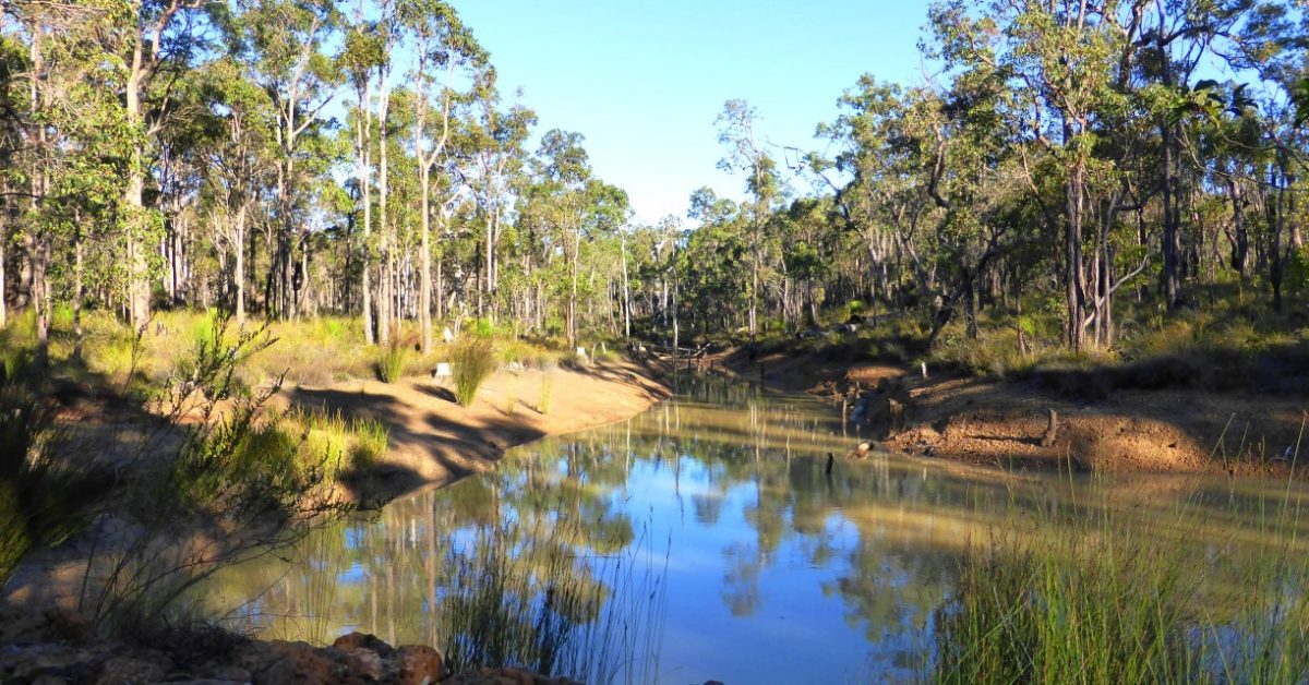
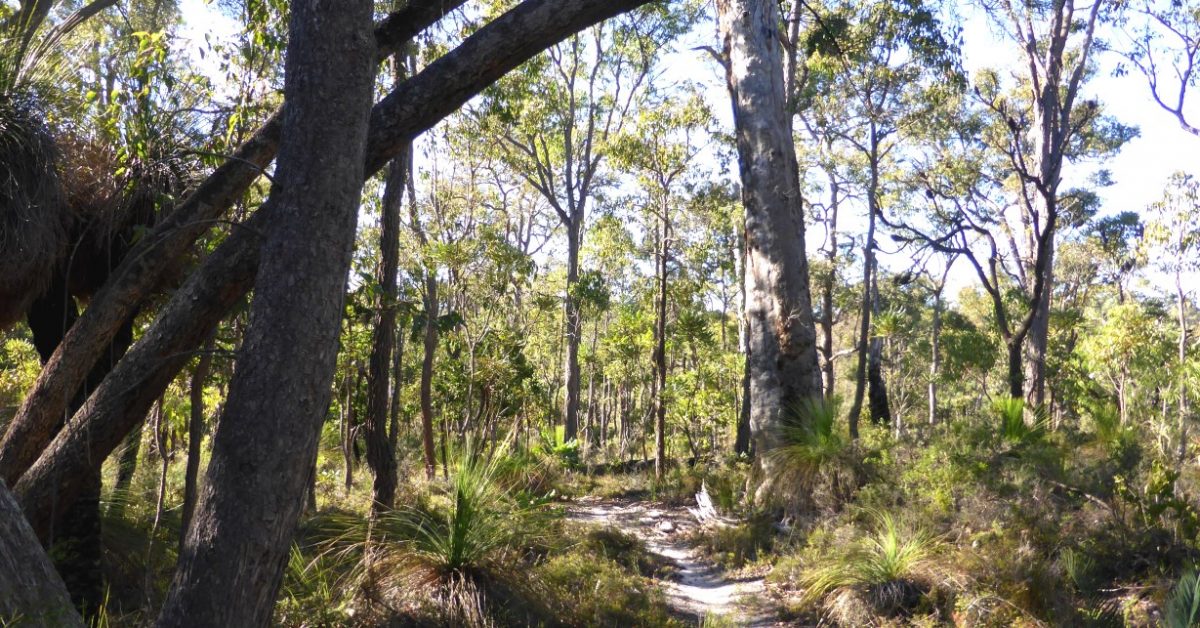
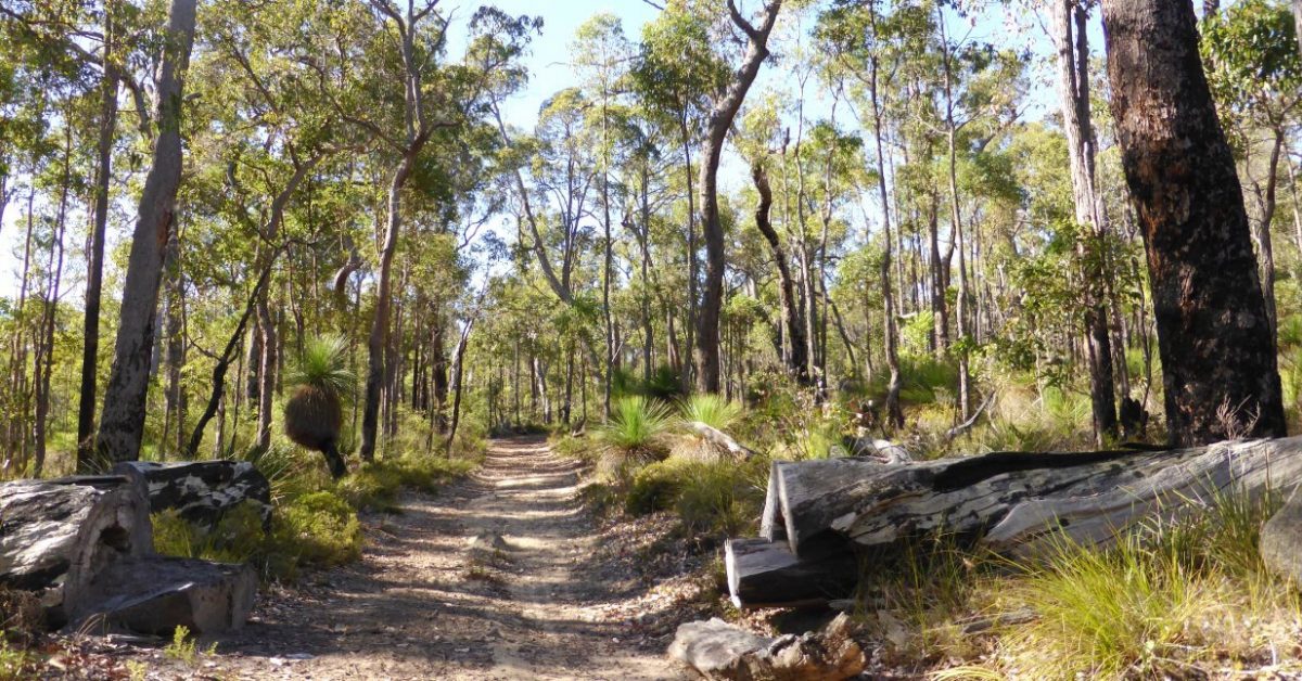
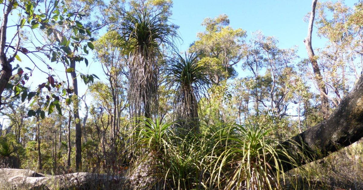
Crooked Brook Forest is a 20 sq km area of jarrah forest lying between the coastal plain to the west and the Ferguson region and Darling Range to the east. Picnic shelters and the main parking area are nicely located near a small picturesque dam. The walk route here combines part of the developed 10km Marri Walk with 9km of mostly disused old forestry tracks. This provides a fuller day’s walk that will appeal to self-reliant walkers keen to explore more of the Forest area. An optional ‘short-cut’ in the south reduces the total walk distance to 14.5km for those who prefer a shorter walk. Though the area is relatively low lying, there are scenic views along the Marri Walk. The area has a great range of wildflowers and the unusual Pineapple bush grows in abundance here to about 3m tall. There are also many tall grass trees. The walk is best done from August onward into springtime, from the earlier flowering of wattles to the peak wildflower season.